Getting Around Pendle: Nelson, Colne and the Valley
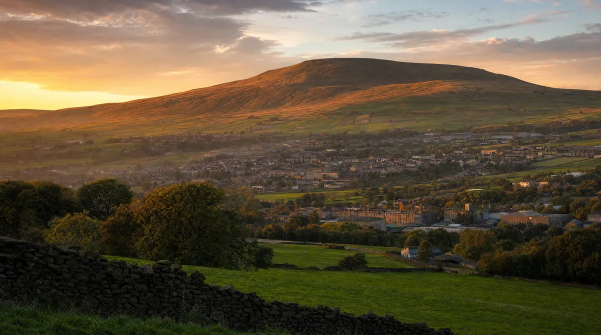
The Valley Below the Hill
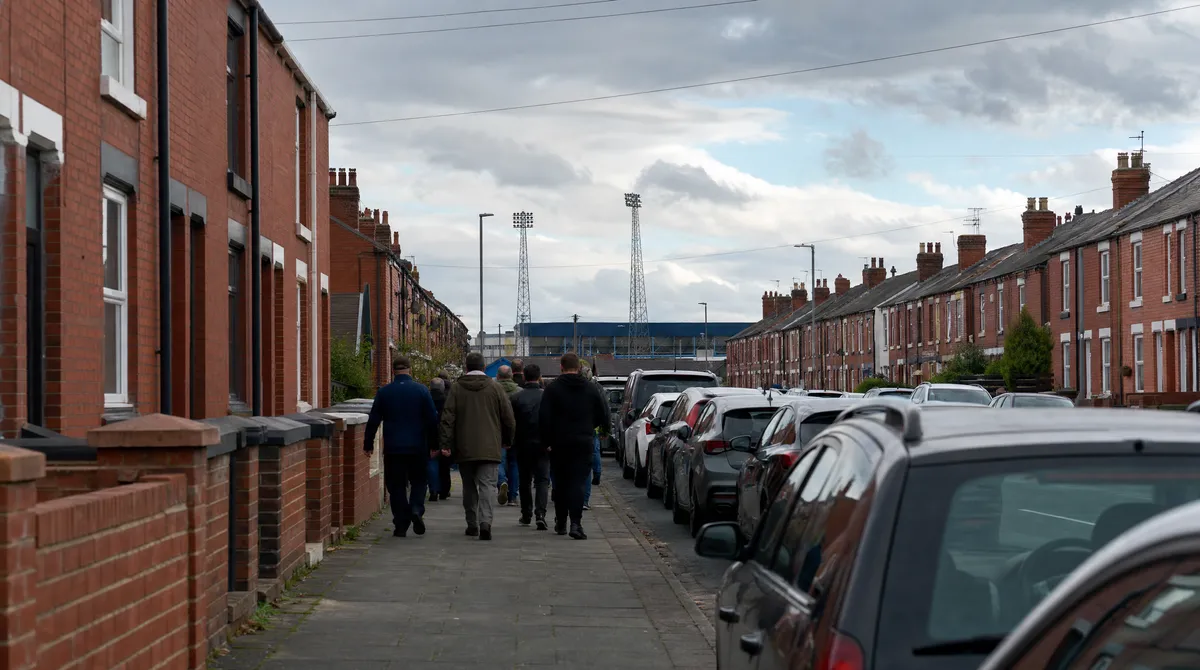
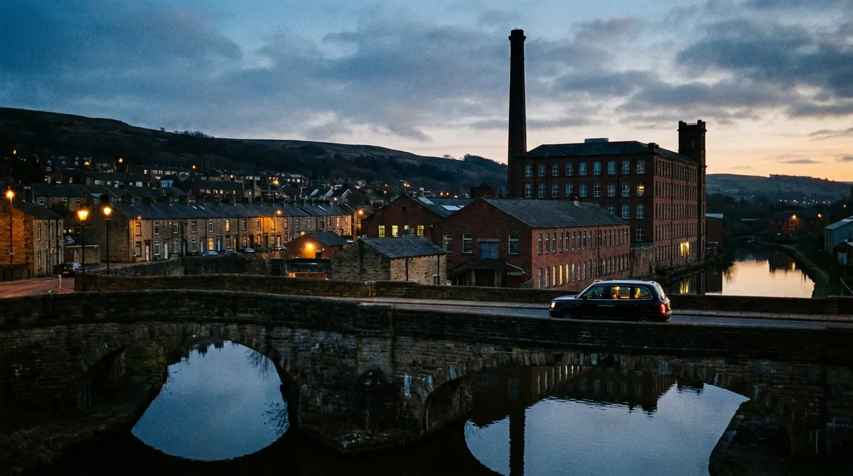
The Borough of Pendle is really one long valley strung along the M65 and the East Lancashire Line — Brierfield into Nelson, Nelson into Barrowford, then out to Colne and the villages beyond. Pendle Hill watches the lot of it. It's a cracking place to live and a slightly awkward one to drive around: tight mill-town streets, hillside estates, and a station at nearly every stop that fills up at rush hour.
Here's the local knowledge that makes getting around Pendle easy.
Nelson: Town Centre, College and the Market
Nelson is the busy heart of it. The town centre, the market and the ACE Centre keep the middle moving, and Nelson and Colne College pulls students in from across the borough every term-time morning. The college run and the shift-change rush are two of our steadiest jobs — and pre-booking through the Ride Taxis app means your car's assigned before the queue at the kerb even forms.
The move for a busy town-centre pickup: book before you head out, watch the car come to you on the map, and your fare's fixed before you commit — no meter creeping up through the one-way system.
Colne: The Muni, Boundary Mill and Late Nights
Up the hill in Colne, the evening trade around the town centre and the shows at the Muni keep things going after dark, and Boundary Mill draws shoppers in from across the region. Late nights are exactly where a booked car beats standing on a cold pavement — especially over the August bank holiday, when the Great British Rhythm and Blues Festival fills the town and every kerb with it. Book ahead and your driver works around the crowds instead of through them.
The East Lancashire Line Run
The Colne to Preston line threads the whole valley — Colne, Nelson, Brierfield, Burnley Central — with connections on to Blackburn and Manchester. It's a lifeline when it runs on time and a headache when the last train back is delayed. Set your pickup as your train leaves Burnley or Accrington and your driver's waiting at the station when you step off — name, registration and live location all in the app.
Barrowford, Brierfield and the Villages
Pendle isn't just the two towns. Barrowford, Brierfield, Higham, Fence, Barley and the little places up toward the hill are road journeys by definition — the buses barely serve half of them after early evening. We cover them all, day and night. Check the fares and coverage on our Nelson, Colne and Barrowford pages.
Up Pendle Hill and Out to Wycoller
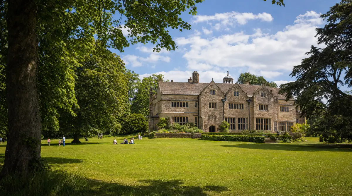
This is where a booked car changes the whole day. The classic walk up Pendle Hill from Barley, the Pendle Sculpture Trail at Aitken Wood, and Wycoller Country Park with its Brontë connections all sit in spots the buses forget. Book the run out and the return pickup at the same time and you're not stranded in a stone gateway hunting for phone signal at five o'clock. Bringing the dog along for the walk? Ride Pet means muddy paws are no problem.
Hospital Runs and the Airport Start
Burnley General on Casterton Avenue is the regular hospital run from across Pendle — appointments, discharges and staff shifts around the clock, with live tracking so you're not waiting on the steps. And the early airport start is routine work here: a 4am pickup from Nelson or Colne to Manchester Airport, fare fixed the night before. Groups of up to six can take a Ride XL — one fixed fare for the whole car. Pricing lives on the airport transfers page.
The Bottom Line
Pendle rewards people who plan thirty seconds ahead. Open the app, lock the fare, and the whole valley opens up — from the college run to the top of the hill — without a parking app or a one-way system in sight.
Ready to ride? Download the app and book in seconds.
Ready to ride?
Download the app and book in seconds. upfront prices, live tracking, 24/7.